Earth exploration
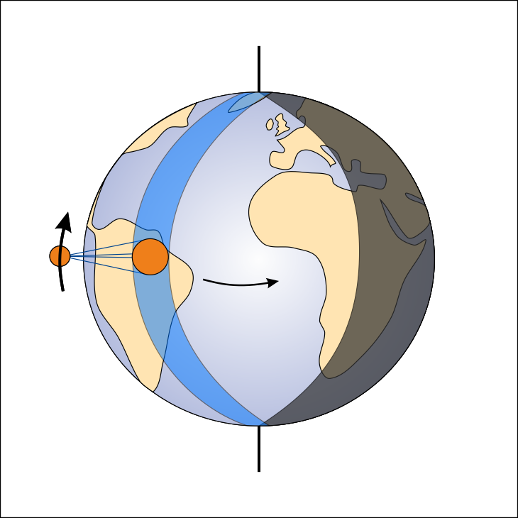
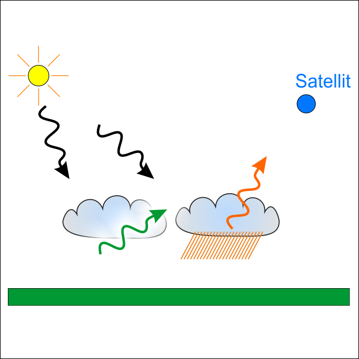
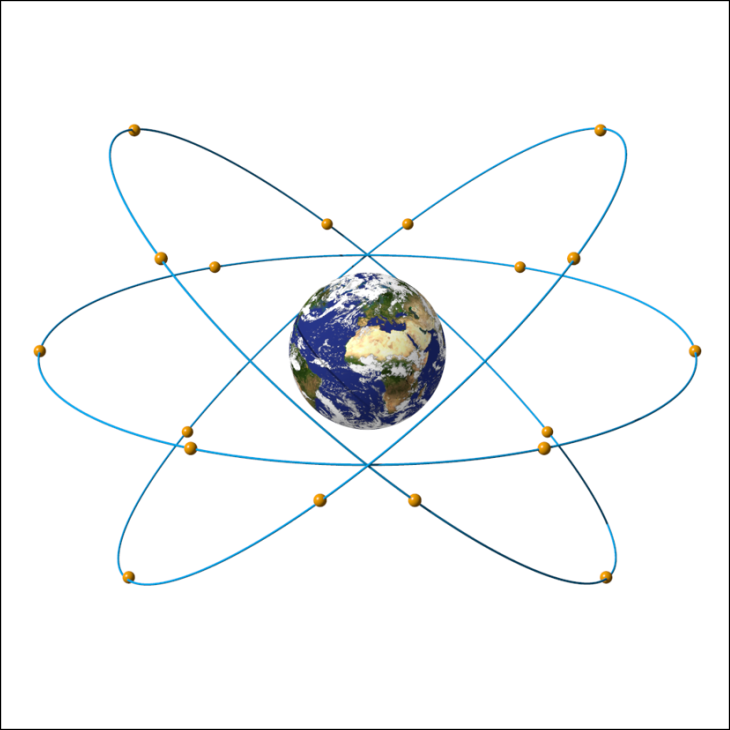
Satellite data are important in everyday life. They show us our way across the city and tell us about the weather tomorrow. In addition, they show us a completely new image of the planet we are living on. This presentation is about this new image. How do satellites obtain their data? Which methods are applied, how do they circle the Earth? And how can their data be applied?
Literature on Earth exploration:
Kramer (2002) Observation of the Earth and its Environment, 4th edition, Springer Verlag, Berlin, Heidelberg
Cushman et al., (2023) Innovations in plant science from integrative remote sensing research: an introduction to a Virtual Issue.
New Phytologist 240, 1707-1711. (see also the virtual issue at: www.newphytologist.com/virtualissues. Den Inhalt dieses Artikels habe ich auch in einem Video zusammengefasst.
Magruder et al., (2024) Monitoring Earth’s climate variables with satellite laser altimetry. Nature Reviews Earth and Environment 5, 120-136. https://doi.org/10.1038/s43017-023-00508-8 Den Inhalt dieses Artikels habe ich auch in einem Video zusammengefasst.
All satellite images of this presentation were produced by the Copernicus Sentinel-program and have been published by the European Space Agency (ESA).
Licence: The images from ESA have been published under a CC BY-SA 3.0 IGO – Licence.
All other images are published under a Creative Commons Attribution 4.0 International Licence. In case of using several images from this presentation one citation is sufficient.
Further Links:
ESA – NASA – JAXA – CNSA – Roscosmos
DLR – MPI für Astronomie – Leibniz-Institut für Astrophysik – Deutsches Zentrum für Astrophysik
Annual Review of Astronomy and Astrophysics – Astronomy and Astrophysics Review – Living Reviews in Solar Physics – Annual Review of Earth and Planetary Sciences – Nature Astronomy – New Astronomy Reviews – Astrophysical Journal Letters – Space Science Reviews


